


Two leats were constructed to convey water to the mines at Talargoch.
The first was built in the 1750s to provide a water source for the mine’s waterwheels and did so for over 100 years. This leat took water from the Afon Ffyddion about
400m above Dyserth Waterfall and followed the 200ft contour for almost the entire length of 2.1km. The average width was about 2m and a few parts of it can be
seen here and there. An indication of its route is shown in pale red on the map below - from the “1750s Source” via the various engines and back to the river near
what is the now the sewage works.
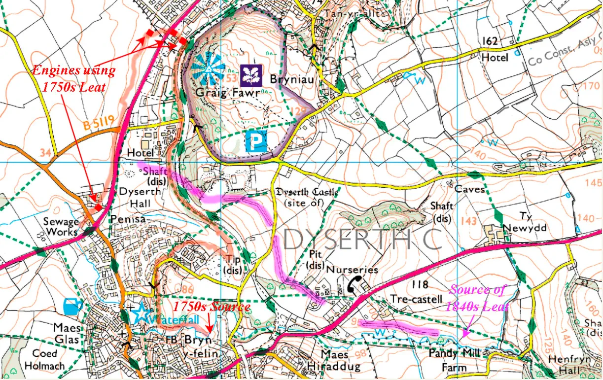
Image produced from the Ordnance Survey Get-a-map service. Image reproduced with kind permission of Ordnance Survey and Ordnance Survey of Northern Ireland.
The second leat was built in 1844 to provide sufficient volume of water to power a new 50” hydraulic engine to drain the west end of the mine. This leat passed through a
tunnel under the Dyserth-Trelawnyd road and followed the 300ft contour to Talargoch. Its route is indicated by the purple line, parts of it are still marked on the map.
For a large map from 1878 showing the 1844 leat (and the river) click here

This Gastineau print of around 1830 shows the 1750s leat heading towards the mines at Talargoch
The Leats


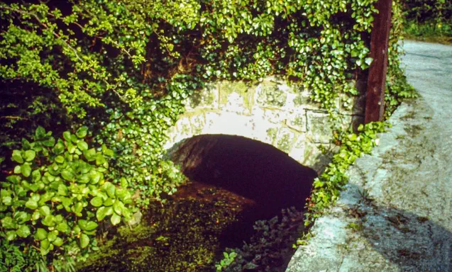

Leet NW
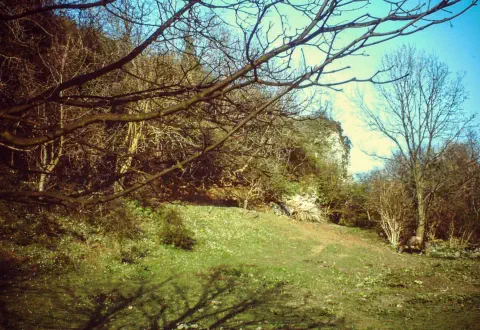
Leet Outlet at Trecastell
Leet Tunnel
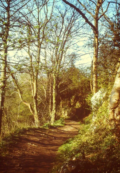
These three photos were taken by Lucy
Davies in the 1980s. The captions are hers
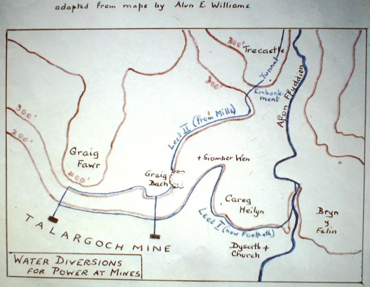
Map by Lucy or Ronald Davies


Two leats were constructed to convey water to the mines at
Talargoch.
The first was built in the 1750s to provide a water source for
the mine’s waterwheels and did so for over 100 years. This
leat took water from the Afon Ffyddion about 400m above
Dyserth Waterfall and followed the 200ft contour for almost
the entire length of 2.1km. The average width was about 2m
and a few parts of it can be seen here and there. An
indication of its route is shown in pale red on the map below -
from the “1750s Source” via the various engines and back to
the river near what is the now the sewage works.
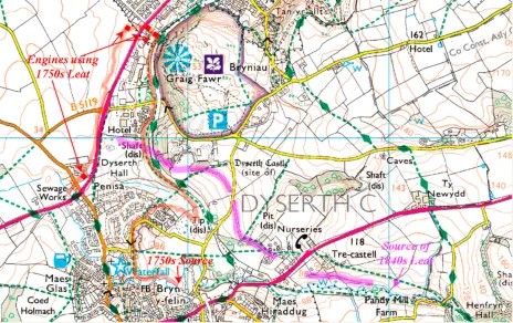
Image produced from the Ordnance Survey Get-a-map
service. Image reproduced with kind permission of Ordnance
Survey and Ordnance Survey of Northern Ireland.
The second leat was built in 1844 to provide sufficient volume
of water to power a new 50” hydraulic engine to drain the
west end of the mine. This leat passed through a tunnel
under the Dyserth-Trelawnyd road and followed the 300ft
contour to Talargoch. Its route is indicated by the purple line,
parts of it are still marked on the map.
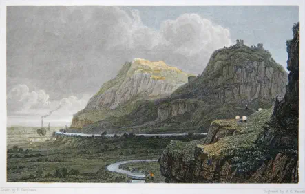
This Gastineau print of around 1830 shows the 1750s leat
heading towards the mines at Talargoch
The Leats


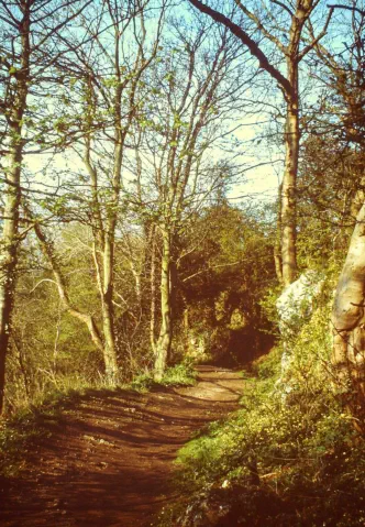
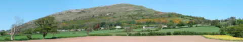
Leet NW

Leet Outlet at Trecastell
Leet Tunnel
These three photos were taken by Lucy
Davies in the 1980s. The captions are hers
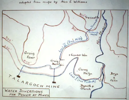
Map by Lucy or Ronald Davies