


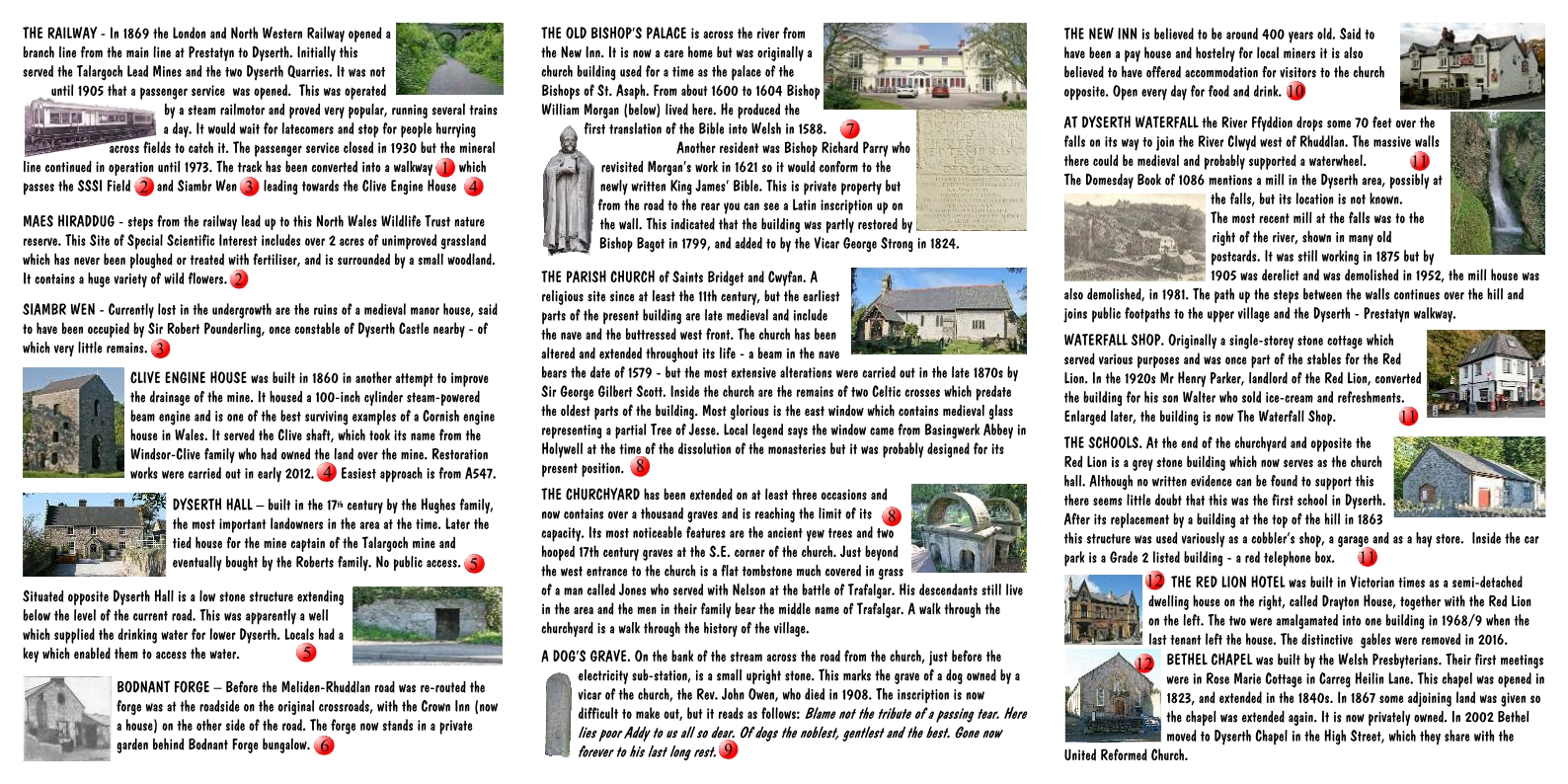
Dyserth Heritage
Trail
Heritage trails produced by Dyserth Environmental group.
The leaflet lower down can be downloaded as a PDF
Below this there is a Google Map of the Trail locations - click on the blue markers for information.
in 2021
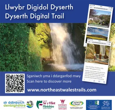
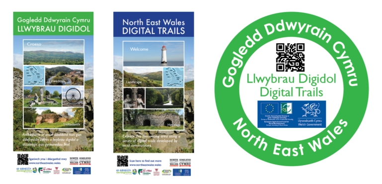
Dyserth was included in the website version of
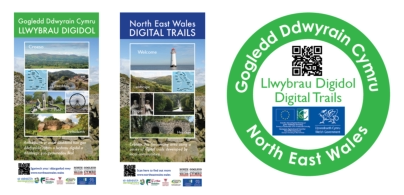
North East Wales Digital Trails

In 2018
Dyserth was one of the first places
to be included in the TrailTale App


In 2020
Dyserth was included in
the North East Wales Digital Trails App
Click on the picture to go to the website

Click to download the
leaflet
(opens in a new window)
Click on the blue
markers for information


Dyserth Heritage
Trail
Heritage trails produced by Dyserth Environmental
group.
The leaflet lower down can be downloaded as a PDF
Below this there is a Google Map of the Trail locations
In 2018
Dyserth was one of the first places
to be included in the TrailTale App
In 2020
Dyserth was included in
the North East Wales Digital Trails App
in 2021
Dyserth was included in the website version of
North East Wales Digital Trails
Click on the picture to go to the website
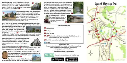
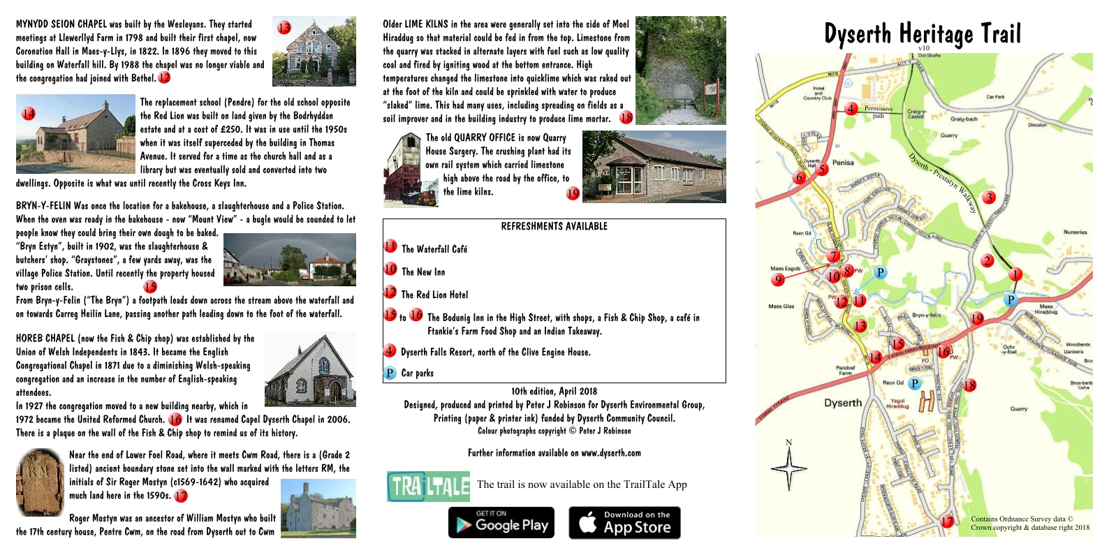
Dyserth Heritage Trail
click on the image to download
Click on the blue markers for information